Course تكنولوجيا المعلومات الجغرافية المكانية في الحالات الهشة Public – by registration E-learning Ouvert pour s'inscrire / appliquer
Course Les technologies d’information géospatiale dans les contextes de fragilité Public – by registration E-learning Ouvert pour s'inscrire / appliquer
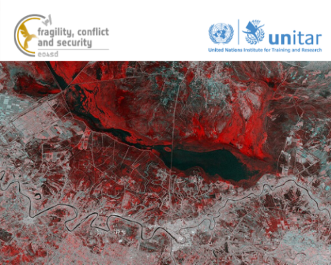
Course Geospatial Information Technology (GIT) in Fragile Contexts Public – by registration E-learning Ouvert pour s'inscrire / appliquer